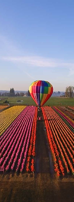
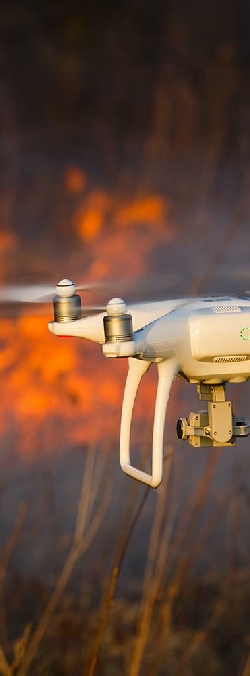
We offer high quality still images and video by a remotely-operated unmanned aerial vehicle (UAV), also known as a drone. Drone photography allows images and video to be captured from any angle that might not be otherwise possible for human photographers and videographers. That capacity can be enabled by the flight abilities of drones, their small size or their ability to tolerate harsh environments. Drone photography often enables a first-person view (FPV) that would normally be impossible to achieve.
OREGON AERIAL SOLUTIONS
Oregon Aerial Solutions is a Drone service company offering a variety of aerial services. Drones have long been used for photography and videography to save time, money and capture shots from angles otherwise impossible. As technology has advanced, the list of services drones can offer is rapidly expanding. From construction to agriculture to emergency response, Drones are now being used to aid in all your aerial needs.
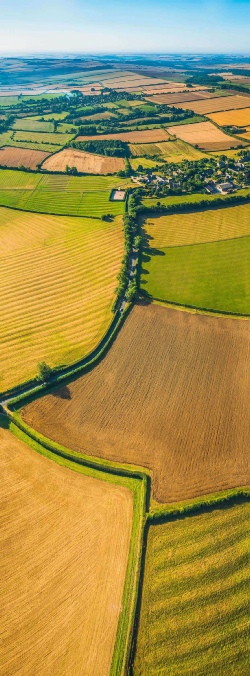
AERIAL MAPPING
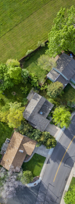
Drone mapping has HUGE potential for a number of sectors including construction, agriculture, mining, infrastructure inspection and real estate. Having a clear, accurate photograph or 3D model of your project area, complete with measurements, is advantageous in terms of decision-making. This is the hard bit, if it was possible to do this manually the process could take years of painstakingly stitching and adjusting the images so they fit together and give a true orthographic view. Fortunately, there are now computers to do that for us! The software easily enables us to put together a comprehensive survey of land, buildings and infrastructure and presents it in a variety of easy to manage formats. The best feature is the ability to take accurate measurements of length, area and volume straight from the maps.
EMERGENCY RESPONSE/SAR
Drones have been instrumental in saving lives through search and rescue, emergency response, and firefighting. In search and rescue operations, drones allow greater coverage of a search area – and thermography allows rescue teams to work through the night, significantly increasing the potential for success. Thermal imaging cameras give teams the power to “see in total darkness”. Being able to evaluate a situation immediately and to identify victims stranded in the midst of debris caused by floods, fires, and earthquakes in the first few hours after a disaster hits makes a significant human impact. Drones are also being used to quickly
re-establish communication networks, deliver emergency supplies, and plan for emergency transportation routes.
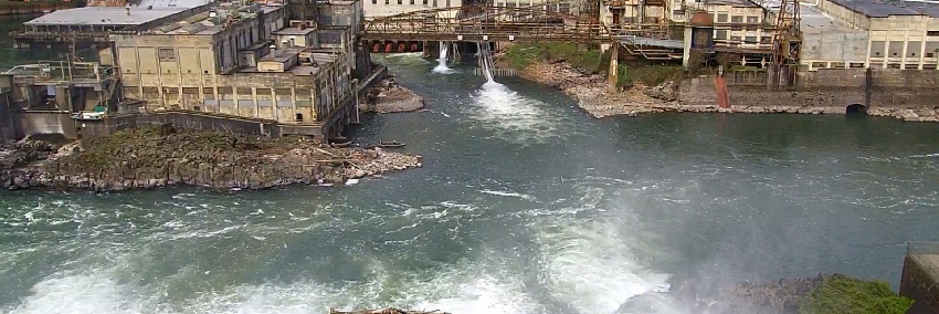
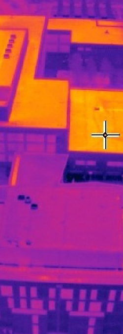
FACILITY AND THERMAL INSPECTION
Whether you are working with solar, insurance, or oil and gas, radiometric thermal flights detect problems not even the eye can see. From detecting weather damage and faulty modules, to making underground pipelines, leaks and hotspots visible – the opportunities are endless. With zoom and infrared cameras, a drone can quickly record visual data on the condition of a roof’s structure and materials, at a fraction of the time and cost required by manual methods.Easily identify problems with exteral building structures, roofing, water pooling, or airconditioning units with a birds eye perspective.When a roof has been damaged by a storm or tree limbs, the roof is not safe to access on foot, in which case the safety benefit of inspection by a drone is unbeatable.
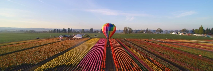
AGRICULTURE
We offer real-time Crop Scouting with Live Map HD. With Live Map HD, your team can now survey in high definition over hundreds of acres in minutes. Discover more about how your agronomy team can make
in-field assessments quickly and efficiently. Counting thousands of trees is a task that has traditionally required hours of walking in the field. New drone technology uses machine learning to make this whole process simple. We can automatically identify tree varieties, cars, and other objects in your maps.
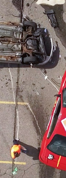
ACCIDENT/INSURANCE
When insurance and police investigators try to figure out what caused a multi-vehicle crash they look to us for help. We can take photographs of the scene from every angle to help investigators reconstruct the crash. Our pilots send up the drones, which take high-resolution photos that are fed into a computer and run through software. That creates 3D models that piece everything together for investigators. It’s many times faster and more detailed than what can be produced by people on the ground. It also means that there’s much less time for the road to be closed and traffic to be backed up.